

Kick Off Road Trip Season with the 2025 Rand McNally Road Atlas

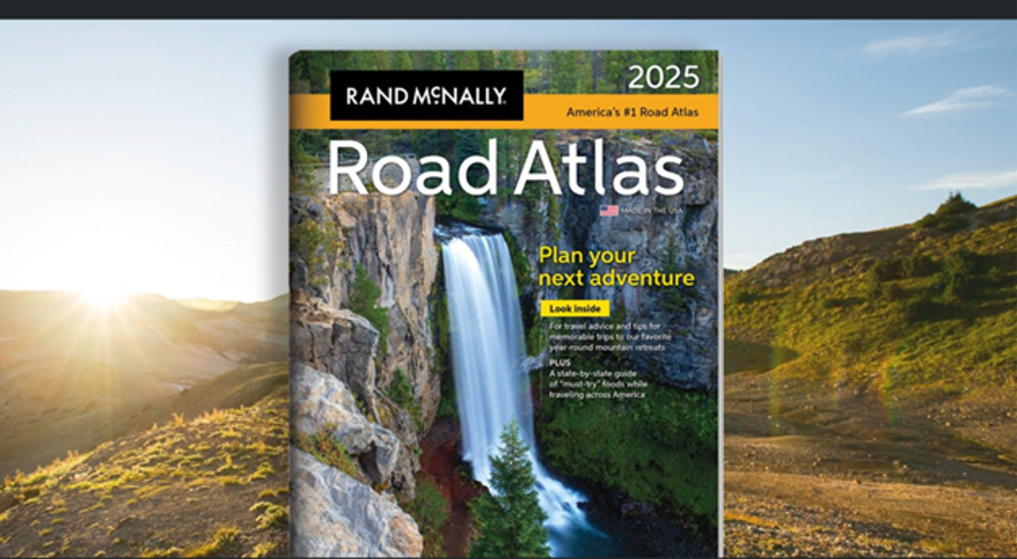
It’s our favorite day of the year! The 2025 edition of the Rand McNally Road Atlas has just dropped. It’s our 101st edition and your go-to guide for planning epic adventures this summer.
For generations, Rand McNally has been a trusted resource for road trippers. Our atlases provide big-picture overviews and include thousands of points of interest that you might otherwise miss.
“Americans’ love of road trips is as popular as ever, and our 2025 edition of the Rand
McNally Road Atlas is filled with ideas that include many of the trends we’re seeing today, especially with younger travelers looking for unique destination experiences,” said Joseph Roark, Chairman of Rand McNally Publishing.
The 2025 edition includes:
● Editors’ favorite year-round mountain retreats, with travel advice and tips from places to stay, family activities, and where to eat.
● A state-by-state guide of “must-try” foods worth a road trip detour.
The updated maps feature thousands of updates, including:
● Five new National Monuments
● Updates to Air Force bases to Space Force bases
● The addition of Interstate 69 south of Indianapolis, with expected completion by the end of 2024
● The rerouting of U.S. 30 northwest of Omaha, Nebraska
● Updated exits on Interstate 691 and State Highway 2 in Connecticut
● The addition of the western section of the Calgary Ring Road in Alberta, Canada
In addition to the classic atlas, Rand McNally also publishes a large-scale format with larger maps, a smaller format foreasier portability, and a national park version that includes travel tips and points of interest for each of the 63 U.S. national parks.
So, pick up your copy of the 2025 Rand McNally Road Atlas and get ready to hit the road!
Here’s how to decide which atlas is best for you:
If your eyes strain when you read small print:
Large Scale Road Atlas: This spiral-bound, updated 2025 Large Scale edition contains maps of every U.S. state, Canada, and an overview of Mexico, that are 35% larger than the standard atlas version. The atlas also includes detailed inset maps of 375 cities and 28 national parks, plus a comprehensive, unabridged index. Plus, the spiral binding allows the book to lay open easily.
If you want large print, but a more compact size:
Mid-SizeEasy to Read Road Atlas:This spiral-bound midsized atlas contains updated, easy-to-read, large print maps of the U.S., Canada, and Mexico, plus detailed maps of over 50 North American cities, in a convenient travel size that fits in a glove box. The spiral, stay-flat binding allows the book to lay open easily. Because of its smaller trim size, the maps are not as detailed as the other three editions.
If you want something that’s more portable than the spiral-bound atlases and also more detailed than the Mid-Size Easy to Read Atlas:
Road Atlas: This staple-bound Road Atlas contains maps of every U.S. state and Canadian province, an overview map of Mexico, and detailed inset maps of over 375 cities and 28 national parks. It’s lighter and easier to handle when traveling than the Large Scale Road Atlas and the maps are more detailed than the Mid-Size Easy to Read Road Atlas.
If you’re planning a trip to a national park:
Road Atlas and National Park Guide: Showcasing this country's astonishing beauty, the Rand McNally Road Atlas & National Park Guide is packed with hundreds of photos, essential visitor information, and insightful travel tips for all 63 of America's national parks.