
Lost in longitude or confused by contour lines? Want to know all the tips and tricks for getting the most out of your atlas? Curious if paper towns still exist? "Ask a Cartographer" is your opportunity to get the facts straight from the source. Tom Vitacco, Rand McNally Publishing’s Director of GIS, is here to answer your burning questions, and geek out over fascinating map lore – one exploration at a time.
Question: "As a cartographer, what do you think about the digital detox trend?"
Tom’s answer: Thanks for the interesting question! I have heard a lot about the “digital detox trend” on social media and through various news outlets recently. I am sure this concept means different things to different people. Since this blog is related to cartography, I plan to discuss how printed maps can be an important part of the disconnecting trend.
I believe the phrase “digital detox” means you voluntarily turn off your smartphones, laptops, tablets, televisions, and social media sites to focus on real-life interactions without the usual distractions, either temporarily or possibly long term. In a way you are “reconnecting by disconnecting.” Offline travel is becoming a real movement in the travel industry, and I personally know it can be difficult to unplug and just relax while on a vacation, so I am all for the concept.
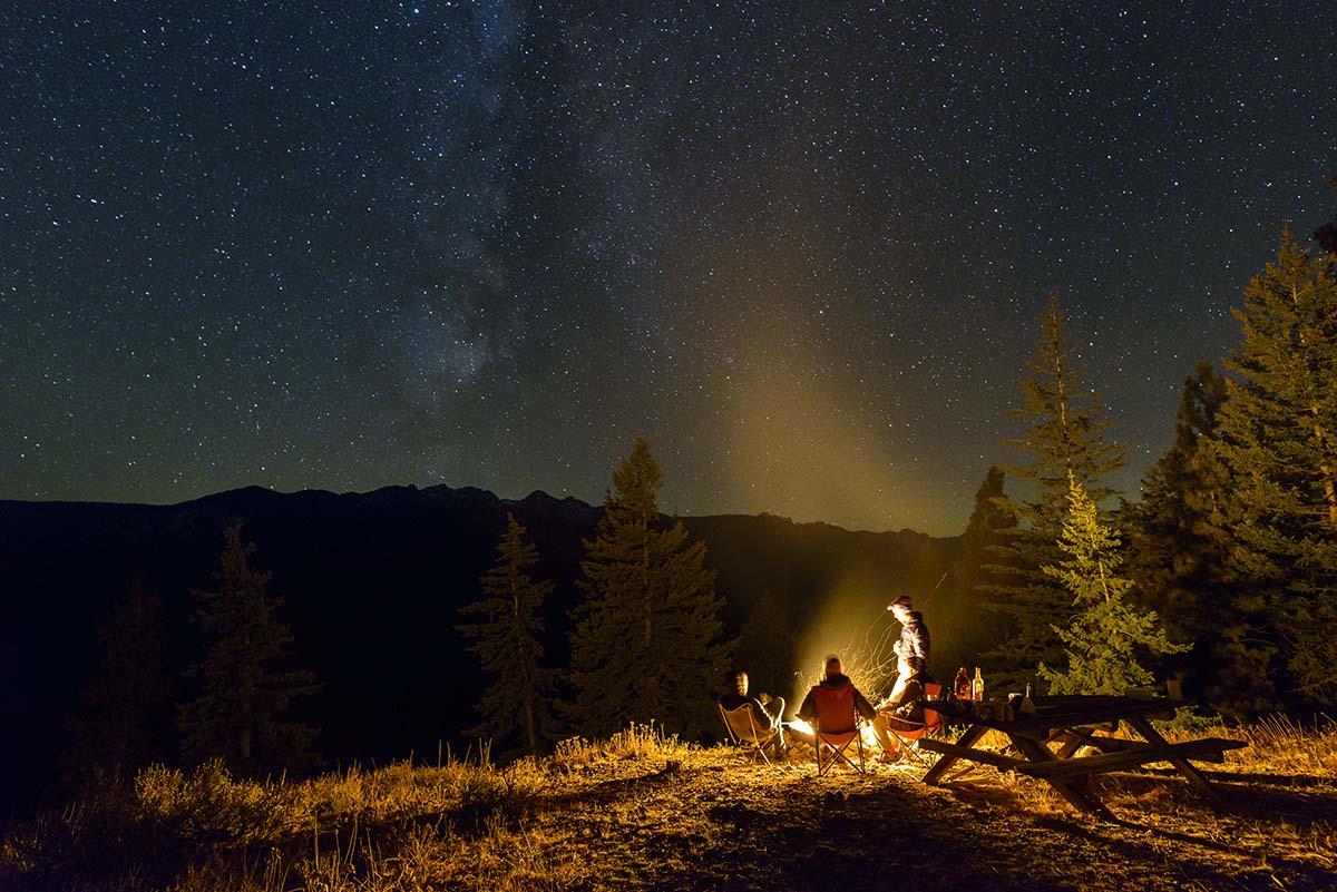
I recently heard the younger generation is embracing the “analog wellness” idea, trading online experiences for more personal and human connections. I love this idea and have actually focused on disconnecting more these days by spending additional time outdoors or working on home improvement projects or the occasional weekend getaway with my family. Sometimes it is nice to take a break from the constant bombardment of information overload that usually happens when looking at my phone or browsing the web. In general, I think the digital detox trend is a good thing which offers a great opportunity to break out a paper map and find your next adventure.
Paper Maps are Cool Again
I recall reading an article last year which talked about how paper maps were growing in popularity again, especially with younger generations, which directly ties into the digital detox concept. As a cartographer, I find that exciting and encouraging at the same time. Obviously, I am partial to paper maps since I make them for a living, but I also feel they are extremely useful for travel planning and navigation. I truly hope the younger generations, who most likely grew up using GPS and cell phones and never learned to read a map, have found that printed maps are valuable and convenient tools to assist with their new offline adventures.
I have always felt a printed map is very helpful for exploration and finding new places to visit, offering the “big picture” view you will not get from a phone or tablet. Here is an example from my personal experience. Back in the late 90s, my wife and I would plan weekend day trips in the summer with our two daughters using the Road Atlas. We live in the suburbs of Chicago, and the northwestern part of Illinois is only a short drive away. We had already visited the usual places, like Galena or Rockford, but were searching for new adventures. To plan, we would sit and look at the Illinois map in the Road Atlas and we found quite a few places to explore on the map that we never knew existed.
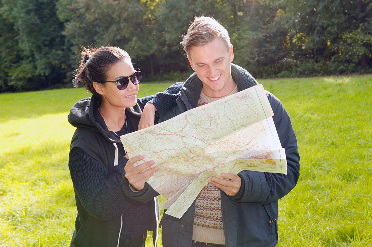
Pictured: This is not me…just a stock photo of people reading a map!
Here is a summary of the places we discovered just by looking at a printed map, shown with the red arrows on the map image below. We used the Road Atlas to navigate to each place as well. I did not have an atlas from that era in front of me while writing this, so the image is a current map from the 2026 atlas, but it illustrates my point.
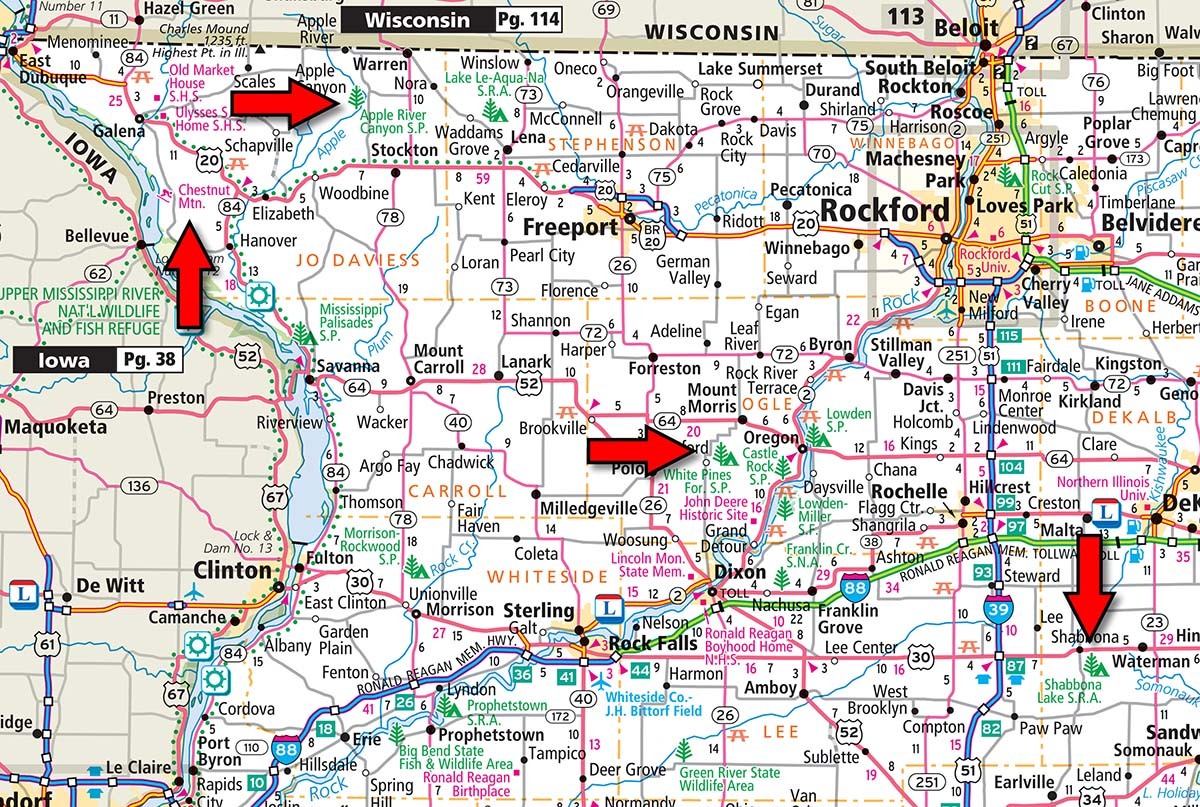
The first location was the Shabbona Lake State Recreation Area, which had a wonderful lake for kayaking, along with a campground and even a restaurant and general store. Next was White Pines State Park, with some interesting hiking trails, and a “drive through river” which our daughters found fascinating. Apple River Canyon State Park included some beautiful scenery not usually found in northern Illinois, and Chestnut Mountain Ski Resort had a fantastic “alpine slide” running down the bluff to the Mississippi River that we really enjoyed as a family. All of these discoveries turned into wonderful family memories, and we found them just by exploring a printed map…highlighting how easy it is to plan a spontaneous trip with no digital assistance.
One interesting side note…I did try to teach my daughters how to read the map during these trips with limited success, probably because the regular Road Atlas is too detailed and complex for a young person to understand! However, we did bring along a few of the Ultimate Backseat Books which were educational and fun and kept our daughters entertained along the way. Since we still produce the books today, I wanted to mention them here because they are fun products full of analog activities for young minds to explore.
Recreation Vehicles on the Rise
According to the RV Industry Association, Millennial and Gen Z owners have become more enthusiastic about recreational travel as they seek new adventures and unique experiences. I tend to see a lot more RVs on the road these days, especially the smaller camper vans, so it does appear like the industry is growing. The RVs can be used to attend festivals, or for unique camping experiences at farms or wineries, and even at college and professional sporting events. If you are an RV owner and want to join the digital detox trend, in my opinion the best atlases to check out are either the Motor Carriers’ Road Atlas or the Road Atlas & National Park Guide, both of which are very well suited for RV travel.
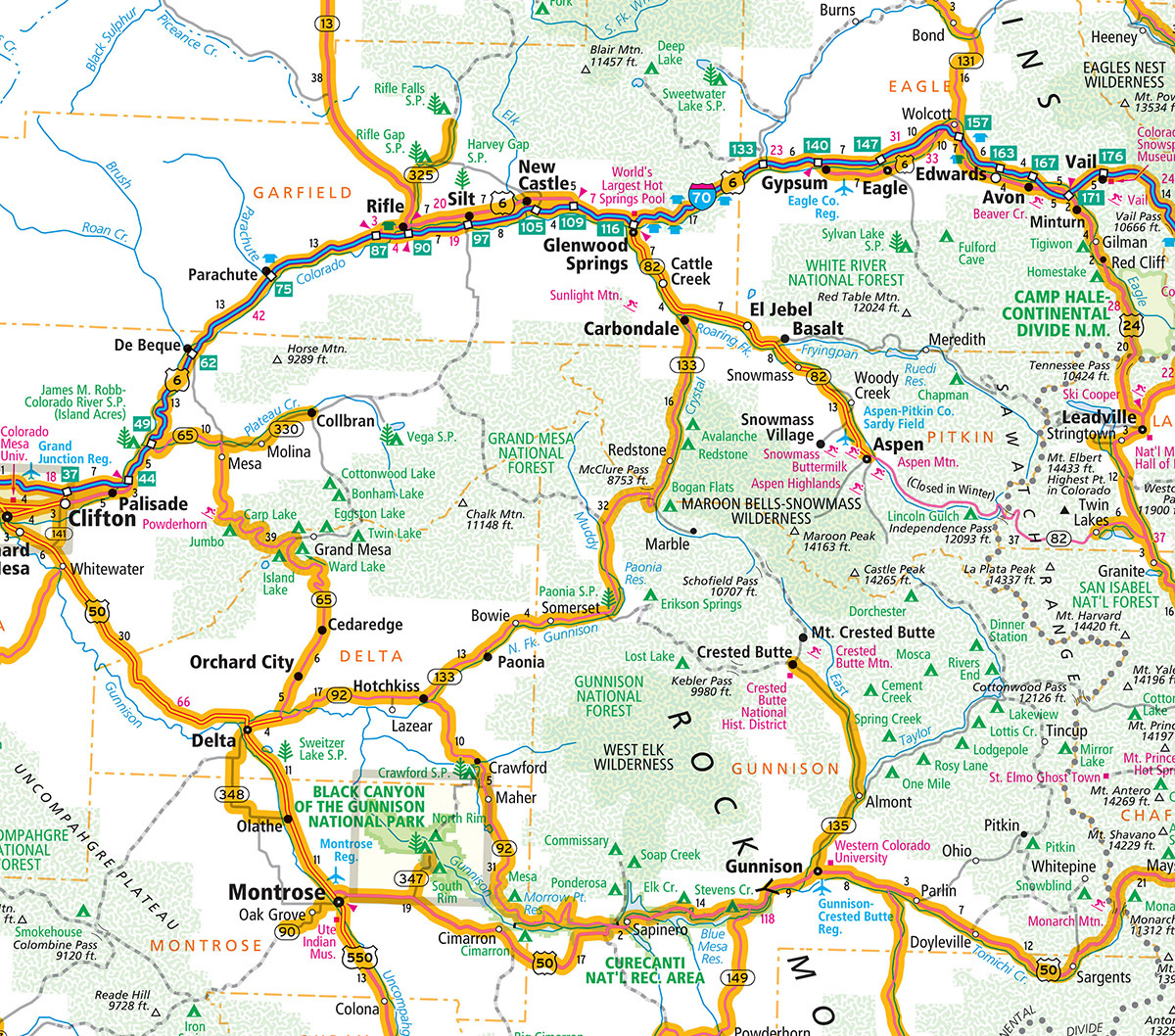
The image above is a crop from the Colorado map in the Motor Carriers’ Road Atlas and the highlighted routes shown in orange are truck and RV friendly roads, which is beneficial for route planning and low clearance issues. The National Park Guide includes a full road atlas plus hundreds of pages dedicated to all 63 National Parks, so if you are going to visit the parks in an RV and want to participate in the offline movement, this is the atlas to use for planning your trip.
Distance Calculations before GPS
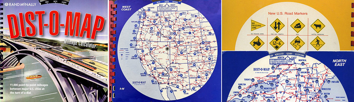
If you really want a digital break and would enjoy using some retro tech tools for distance calculations, try to find a “Dist-O-Map” and calculate away. These innovative “automatic mileage dialers” were produced in the 1980s and featured a spiral-bound, multiple-wheel chart which included maps, routes, and mileage numbers. By spinning the wheels and viewing the corresponding maps, you could determine the mileage between larger cities. Although the maps were not detailed enough for true navigation, they were functional for distance calculations way before you could run a route with a GPS.
Thanks again for the question! Feel free to submit your map or cartography questions below and check back soon for another installment of "Ask a Cartographer".
Have a question for our cartographer? Email us at printproducts@randpublishing.com with “Ask a Cartographer” in the subject line and your question could be featured next!