
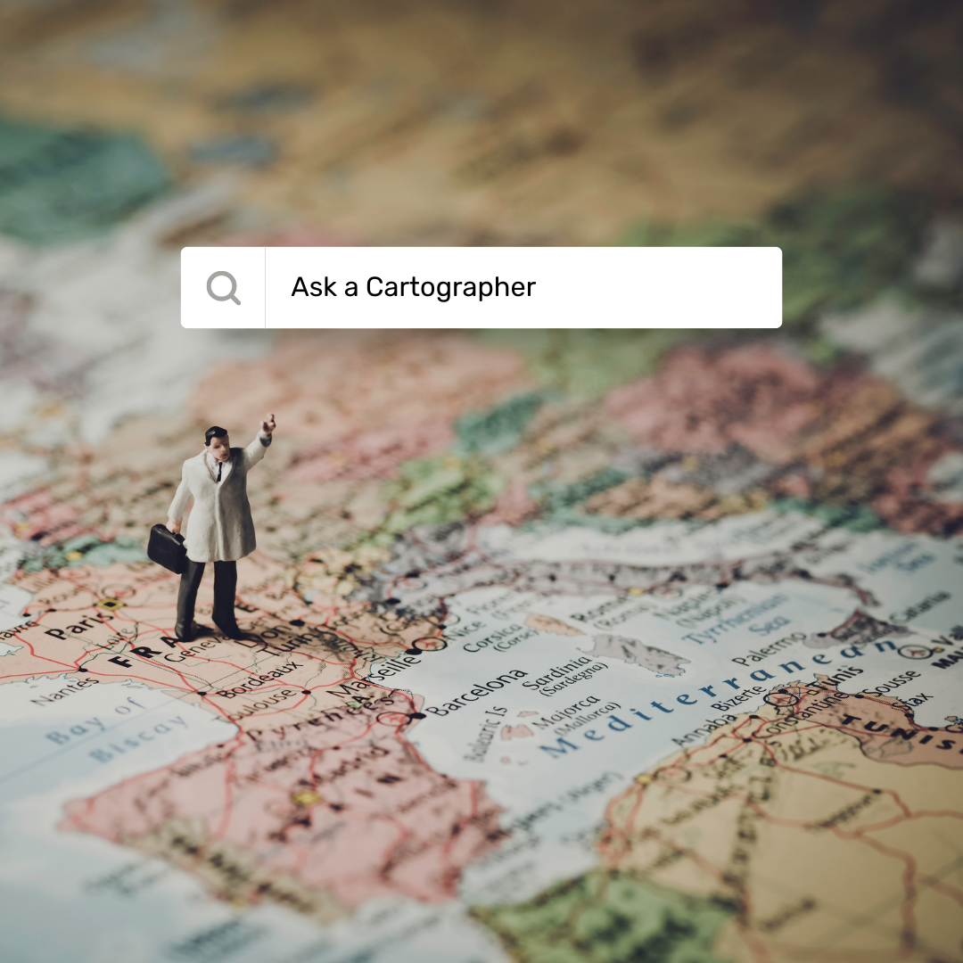
Lost in longitude or confused by contour lines? Want to know all the tips and tricks for getting the most out of your atlas? Curious if paper towns still exist? "Ask a Cartographer" is your opportunity to get the facts straight from the source. Tom Vitacco, Rand McNally Publishing’s Director of GIS is here to answer your burning questions, and geek out over fascinating map lore – one exploration at a time.
This week, we're discussing the questions Tom gets asked the most often as a cartographer.
Question: What is the one question you get asked most often about maps?
Tom’s answer: Well, that is an interesting question and not as easy to answer for me personally as you might think.
What I get asked most often about maps typically goes like this:
Other person: “What do you do for a living?”
Me: “I am a cartographer.”
Other person: "Oh, so you take photos for a living?”
Me: “Sorry, you might be confusing a cartographer for a photographer. I make maps for a living at Rand McNally Publishing.”
Other person: “Oh ok. I have heard of them. Are they still around? And why would you want to make maps for a living?”
The line of questions is usually something along those lines and it comes up more than you might realize! I have talked to co-workers and other cartographers in the industry, and they often hear the same thing. So, the question I get asked most often about maps is generally related to why I chose cartography as a career.
Cartography
I assume most people know what cartography is, but I am often wrong with that assumption. Here is the simplest answer: Cartography is the art and science of making maps. When I am asked about what I do for a living, I usually include “I make maps” after mentioning that I am a cartographer. The general public doesn't seem to know what cartography is so I am always fine with providing more details about what I do for a living.
Why I Like Maps
Although I am not exactly sure why, I like maps. I must…since I have been creating them for almost 40 years. I find it interesting how maps usually represent the real world (unless you are gaming… where maps are more prevalent than you might realize and include many fictional locations) and allow you to visualize places you might not have been before and provide an overall picture of somewhere you might be going. I have always had a good sense of direction and spatial awareness and maybe deep down that is one of the reasons I like maps. Although, some might find it odd that I am not really into orienteering or geocaching and other geographically focused recreational activities which you might expect given my career choice. I also love how artistic yet technical a map can be while maintaining simplicity and legibility if done right. For me personally, I feel a map is art created with science that usually serves a functional purpose. Plus, I just think maps are cool to look at and explore!
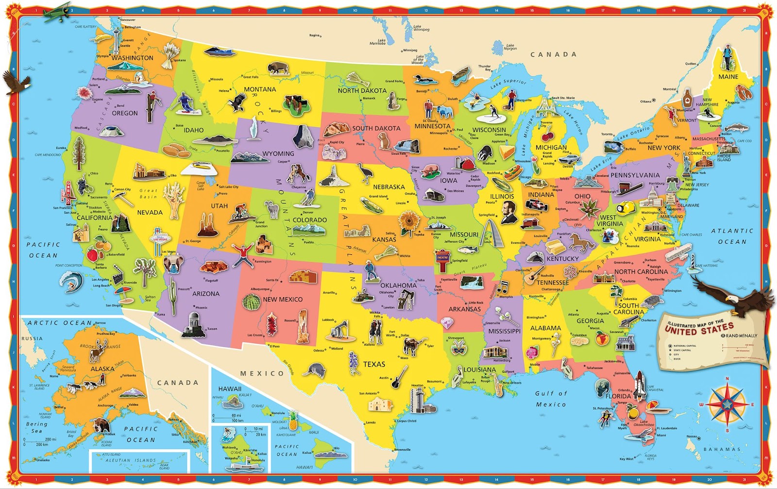
The Iconic Road Atlas
The Rand McNally Road Atlas has been around for more than 100 years for a reason…it is simply the best collection of state maps for travel or planning you can get in one convenient, easy-to-use package. It is an iconic product that people recognize which is why I always bring it up when asked what I do for a living. I will usually respond by asking if the person I am speaking with has ever heard of the road atlas. Their response is almost always a yes. For me, one of the most enjoyable parts of my job is creating a real product that can be purchased from a retail store or online which is useful to our customers. Working on a product from start to finish is very satisfying as a cartographer.
Even after all these years, I still enjoy creating maps whether it is building a map for a brand-new product or updating the extensive set of maps we have already produced throughout my career. Rand McNally Publishing is one of the few companies still producing quality atlases and maps in printed form, so I take immense pride in knowing the cartography we create is still relevant in a digital world and is valued by our customers because they trust our product.

Thanks again for the question! It was fun for me to think about my career choice and why I still enjoy what I do after all these years. Feel free to submit your map or cartography questions below and check back next Tuesday for another installment of "Ask a Cartographer".
Have a question for our cartographer? Email us at printproducts@randmcnally.com with “Ask a Cartographer” in the subject line and your question could be featured next!Have a question for our cartographer? Email us at printproducts@randmcnally.com with “Ask a Cartographer” in the subject line and your question could be featured next.