
Lost in longitude or confused by contour lines? Want to know all the tips and tricks for getting the most out of your atlas? Curious if paper towns still exist? "Ask a Cartographer" is your opportunity to get the facts straight from the source. Tom Vitacco, Rand McNally Publishing’s Director of GIS is here to answer your burning questions, and geek out over fascinating map lore – one exploration at a time.
This week, we are discussing national park designations...

Question: Recently I read an article with the headline, “Amache National Historic Site Formally Established as America’s Newest National Park”, yet there are only 63 national parks and this new site is not the 64th national park which is confusing. Can you help me understand if this is a national park or not?
Tom’s answer: Thank you for the question about National Parks. I agree, the park designations can be confusing, and I will try to explain the system as best I can and talk about how we distinguish the parks in our atlases. Personally, I really enjoy visiting and hiking in the National Parks so thanks again for the interesting question.

National Park Designations
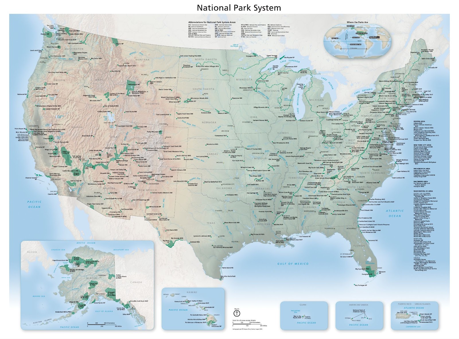
I will start by offering some background on the National Park Service and System. The “service” was started in 1916 under President Wilson as a bureau within the Department of the Interior to maintain the parks and monuments managed by the department. The “system” is the collective group of units that the service manages and sometimes the “units” are referred to as “parks”. There are 430 individual units within the system including national parks, monuments, battlefields, military parks, historical parks, historic sites, lakeshores, seashores, recreation areas, scenic rivers and trails, and even the White House. The total number continues to grow as new units are added.
So, to answer your question, Amache was designated as a "National Historic Site" in Colorado recently and will be part of the National Park System, but it does not have a National Park designation. The National Park designation is used for parks that contain a variety of resources and encompass large areas of land or water which help protect the resources. Amache would not fall within this designation. It is a unit that falls within the National Park System; therefore it is often called a “national park”, but it does not meet the criteria to become the 64th National Park. Another recent example is Blackwell School National Historic Site in Texas, designated as a new unit within the system last month.
National Park System units in the Road Atlas
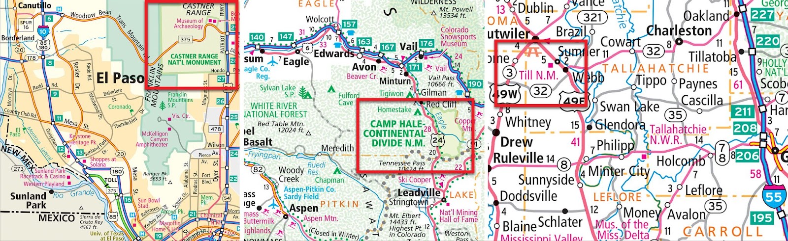
As a cartographer, we make a lot of choices when it comes to map specifications and how to show the different map content in a clear and legible manner. A few years ago, we decided to simplify our specifications for parks and combined the different types of national parks into two categories: National Park (darker green) and Other National Park System (lighter green) locations. We also use a pattern to designate National Forest or Grassland areas and use similar colors and patterns for State and Provincial parks as well. The image below shows a section of the map legend from the Road Atlas and highlights the streamlined color and pattern choices we made to help simplify all the park designations.

For the Road Atlas maps we use a variety of colors and symbols for units within the National Park System. For example, we added five new National Monuments to the 2025 edition of the Road Atlas, including Cape Hale in Colorado, Castner Range in Texas and Emmett and Mamie Till-Mobley in Mississippi. Castner Range, shown below in the El Paso city map, and Camp Hale, shown on the state map for Colorado, both use the lighter green color since they are monuments within the National Park System and are large enough areas to show as a filled polygon on the map. The Emmett Till National Monument, however, is a smaller area so we chose to use our red square (point of interest) map symbol and since Mississippi is a smaller scale map in the Road Atlas, we only use Till N.M. for the map label because of space constraints.
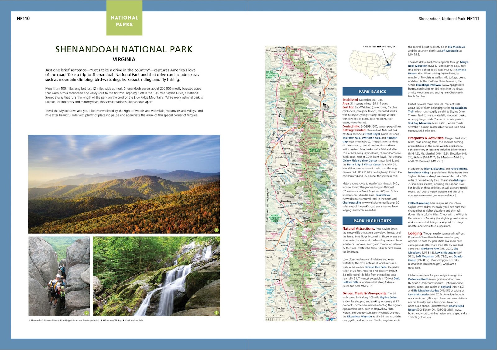
If you are interested in visiting the National Parks, our Road Atlas & National Park Guide is an excellent resource full of information and maps related to the National Park System. The guide includes a colorful,132-page editorial section with information, photos, and maps as well as a standard Road Atlas with updated state and city maps. I highly recommend this specific atlas if you plan to visit the National Parks.
Thank you for the question and hopefully my answer was helpful regarding the different park designations. Feel free to submit your map or cartography questions below and check back next Tuesday for another installment of "Ask a Cartographer".
Have a question for our cartographer? Email us at printproducts@randmcnally.com with “Ask a Cartographer” in the subject line and your question could be featured next!