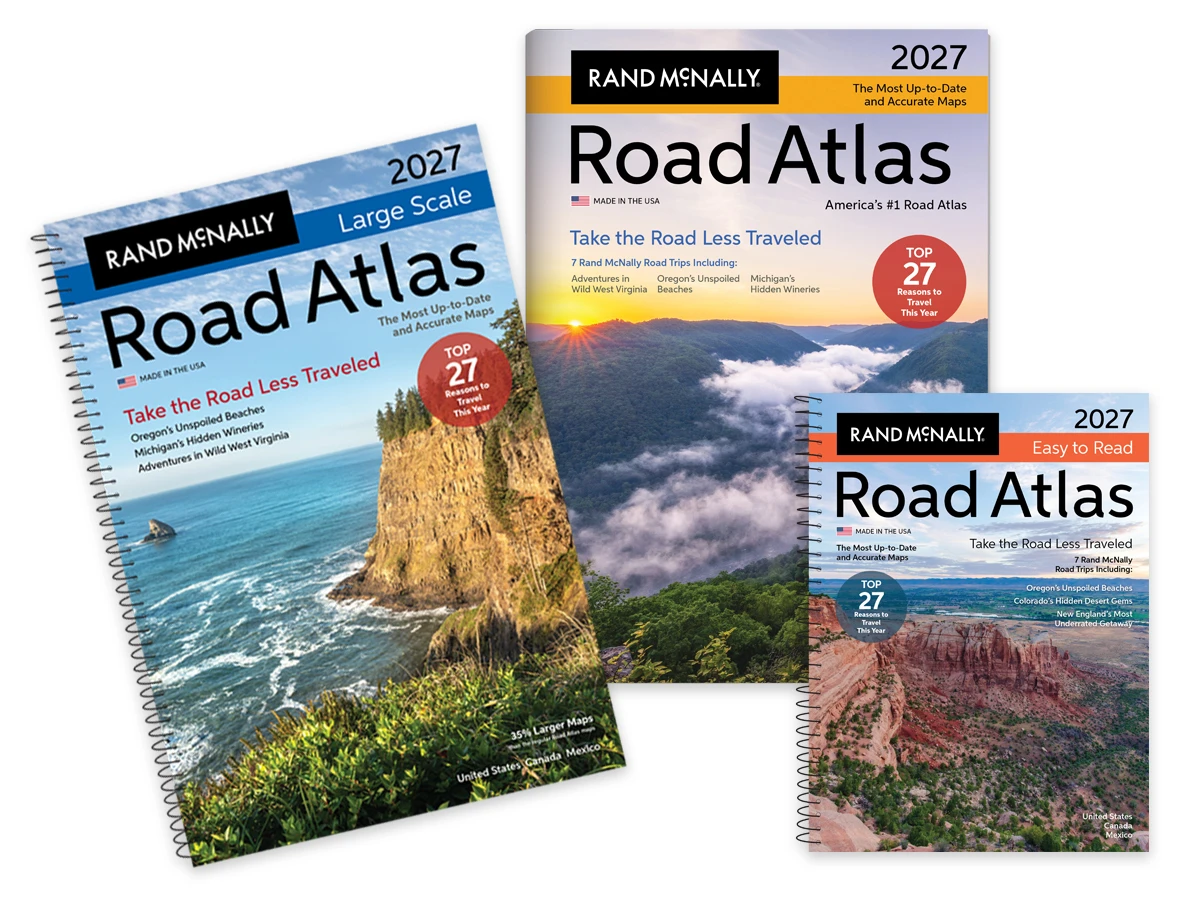
The Road Atlas
The Joys of the Destination Dupe
Trade overcrowded icons for serene alternatives this year. Instead of the Pacific Coast Highway, explore the unspoiled beaches of the Oregon coast. Swap the Hamptons for the charm of Southwest Michigan wine country. These seven trips offer the same soul-stirring beauty and aesthetic appeal as the icons—with more room to breathe and a story that feels entirely your own.
The 2027 edition features updated maps, road construction and tourism information, a mileage map, national park maps, and hundreds of detailed city maps.
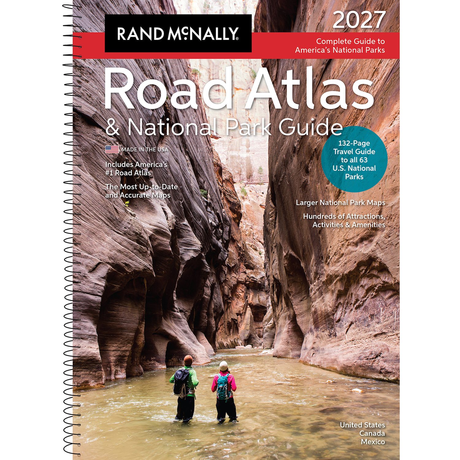
Road Atlas & National Park Guide
Showcasing this country’s astonishing beauty, the 2027 Rand McNally Road Atlas & National Park Guide has been fully updated with expanded content and larger park maps. Featuring hundreds of photos, essential visitor information, and expert travel tips for all 63 of America’s national parks.
Includes a complete 2027 Rand McNally Road Atlas to make navigating a breeze!
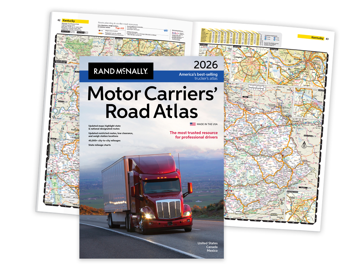
Motor Carriers' Road Atlas
Every mile, in every cab, American truckers rely on Rand McNally's Motor Carriers' Road Atlas for the most comprehensive highway and trucking information on the market.
America's #1-selling trucking atlas is designed to meet the unique needs of professional drivers, helping you save time, save money, and stay compliant.
Kids' Books
Our kids’ books are packed with fun travel games, puzzles, and insight that will keep children entertained for hours, at home and on the road!
The Kids’ Road Atlas is a great first atlas to introduce kids to the ways of the road. Each state features a simplified road map, state facts, and a fun state-related activity. The Ultimate Backseat Book is loaded with crossword puzzles, dot-to-dots, mazes, word scrambles, travel games, fun facts, trivia, and more.

Folded Maps
Offering unbeatable accuracy and reliability, Rand McNally folded maps have been the trusted standard for years. The easy-to-use legend and detailed index make for quick and easy location of destinations.
Choose from the durable Easy to Fold laminated maps, Easy to Read state folded maps featuring larger type, or hundreds of city street maps.

Wall Maps
Choose from the Classic Wall Maps featuring rich, subdued colors on a parchment-toned background or the Signature Series with eye-catching bold colors. Both deliver digital accuracy and extraordinary clarity you’d expect from Rand McNally.
