
Lost in longitude or confused by contour lines? Want to know all the tips and tricks for getting the most out of your atlas? Curious if paper towns still exist? "Ask a Cartographer" is your opportunity to get the facts straight from the source. Tom Vitacco, Rand McNally Publishing’s Director of GIS is here to answer your burning questions, and geek out over fascinating map lore – one exploration at a time.
This week, we are discussing one of Tom's favorite vacation spots he discovered while updating a state map.
Question: Is there a hidden gem or under-appreciated vacation spot you would recommend based on your mapping experience?
Tom’s answer: Thank you for the great question! I am not sure if this is a hidden gem or under-appreciated location, but I discovered a small town in Michigan called Glen Arbor (Road Atlas page 50, grid location I-5) when I was working on an update to our Michigan state map many years back. In fact, the entire northwestern coast of the Lower Peninsula of Michigan could be included in this discovery because I had never been to that part of the state before. I had visited the Detroit area on a school trip in 5th grade and had been to Warren Dunes State Park in the southwestern corner of the state but that was the extent of my travel in Michigan.
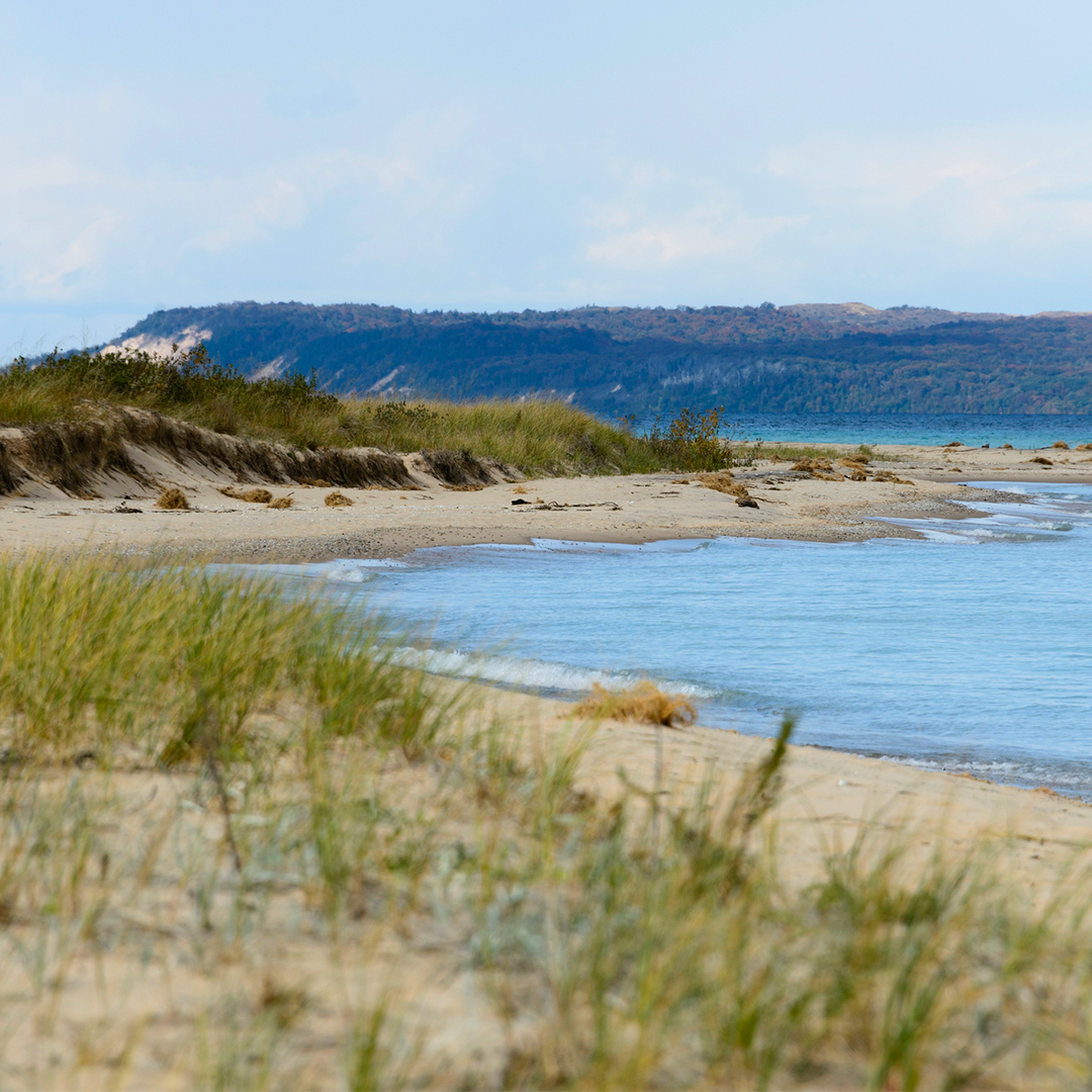
Lake Michigan Shore on Leelanau Peninsula in autumn near Glen Arbor, Michigan
After working on the Michigan state map extensively at the time, I started noticing parks like Sleeping Bear Dunes National Lakeshore and the intriguing peninsulas and points of interest in this part of the state. I had heard of Sleeping Bear Dunes and Traverse City, but was not familiar with the surrounding areas until I worked on that section of the map. Later that evening I was talking about the area with my family, and we decided to take a trip up to Traverse City that summer in part because it looked like there was a lot to offer families based on what I saw on our map!
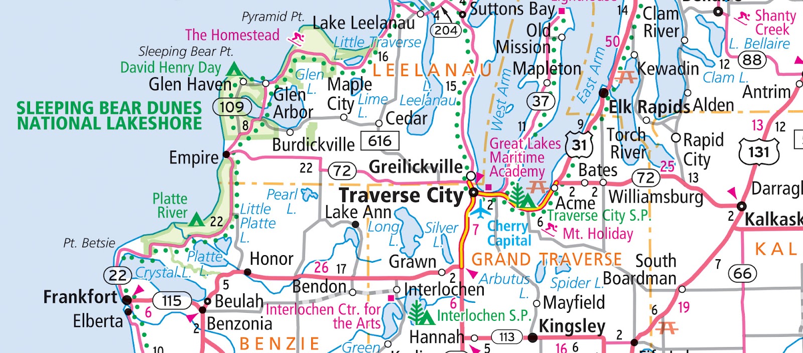
As we were on our way to visit Sleeping Bear Dunes while staying in Traverse City, we decided to drive MI-22 through the Leelanau peninsula and passed through wonderful towns like Suttons Bay, Leland and eventually stopped in Glen Arbor. Although it is a small town, there are plenty of quaint and quirky shops, restaurants and cool places to rent bikes, kayaks or boats. Our favorite place was the Cherry Republic House restaurant and store since I am a big fan of all things cherry! Glen Lake is a beautiful lake near town with crystal clear water and you can even see the lake from on top of the dunes in the park.
Since that first visit to the area, we now try to travel to this part of Michigan annually and have discovered other great small towns like Frankfort, Ludington and one of our favorites, Manistee. We like how the beach in Manistee is very walkable, less crowded than the more popular beaches and fires are allowed on the beach…a perfect way to watch a sunset!
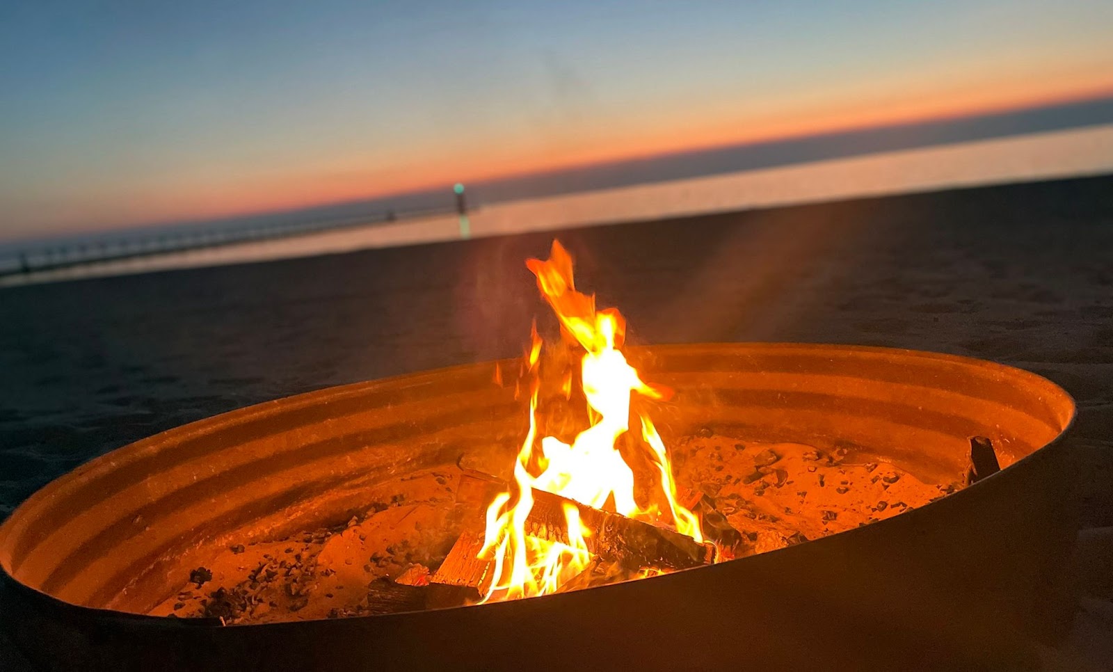
Manistee is one of the few places in Michigan that allows fires on the beach at night
As a cartographer, I look at maps every day and exploring a printed map often will lead to wanderlust which is exactly what happened to me while working on the Michigan map. Discovering a small town like Glen Arbor near appealing places like Sleeping Bear Dunes turned into an annual family tradition and now has become a perfect weekend getaway destination which we still enjoy to this day.
Thanks again for the question about hidden gems found on our maps! If you are interested in our Michigan State Map, please check it out on the Rand McNally Publishing website along with many other state maps and atlases.
Have a question for our cartographer? Email us at printproducts@randmcnally.com with “Ask a Cartographer” in the subject line and your question could be featured next!