- Description
- Reviews
- Additional Info
- Policies
Description
Description
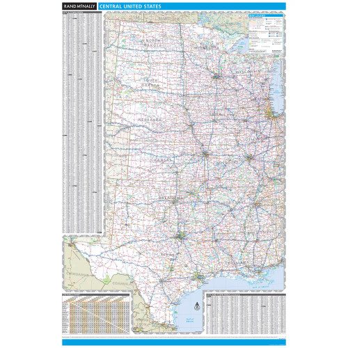
Rand McNally's United States County Wall Map shows county outlines and major cities, making it ideal for use as a business analysis tool.
The full-color map is laminated and comes with hanging rails for easy display options.
Note: Please allow 7-10 days for map production and shipping. This map is not available for gift wrapping.
- Full color representations of all states
- Outlines of all U.S. counties and indications of major cities
- 48 contiguous United States with insets of Alaska and Hawaii
- County index printed right on the sheet
- Lamination so you can write on, wipe off
- Hanging rails for easy display and mounting
- Dimensions: 60" x 46"
Product Details
Dimensions: 60" x 46"
Copyright 2007.
IMPORTANT: This item is made-to-order and cannot be modified, cancelled, or refunded once the order has been placed.
Reviews
Reviews
Additional info
Additional Info
SKU:
052886629X
UPC:
70609866291
Wall Maps:
City & Regional


