
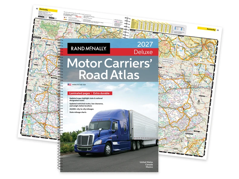
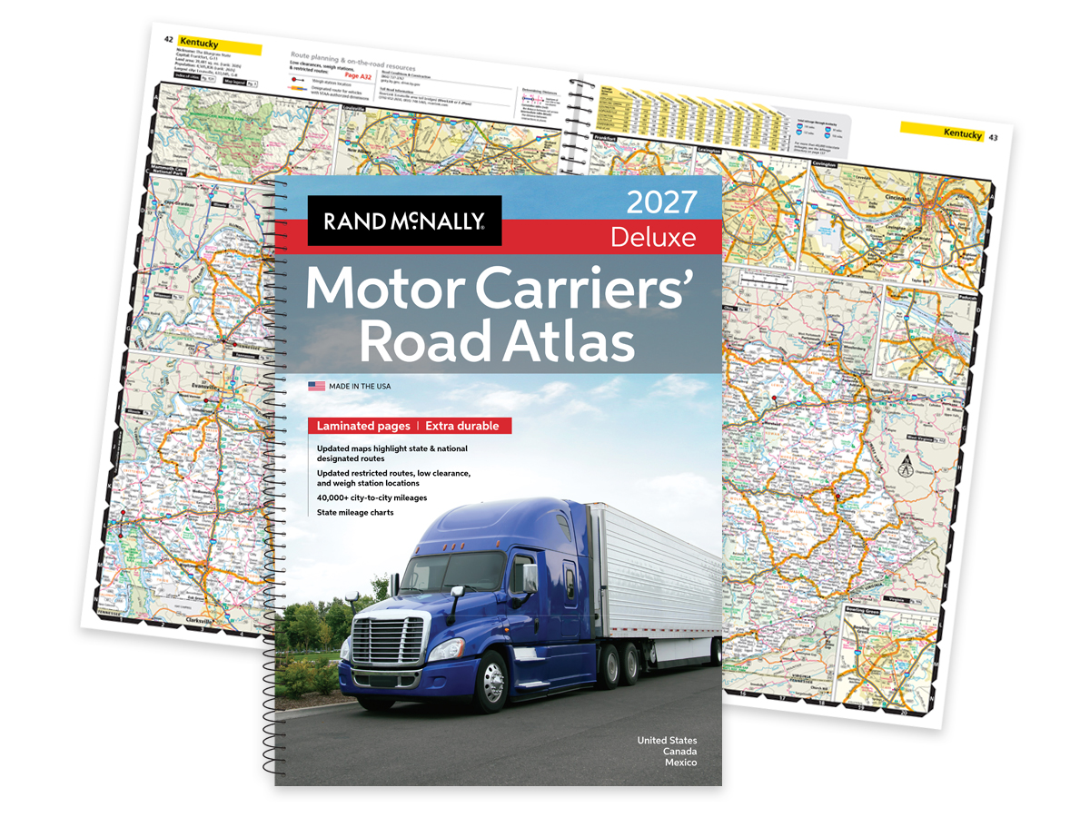
The Motor Carriers’ Road Atlas is the print road atlas designed for the people who drive for a living. Now in its 46th edition, the Rand McNally Motor Carrier Atlas is printed in the USA and built around the routing details professional drivers rely on every day. From truck-designated routes to low-clearance warnings and updated highway changes, this truckers’ atlas helps you stay current, prepared and road-trip ready no matter what route is ahead.
Key Takeaways
|
Why a Truckers’ Atlas Edition Year Matters in 2026
Roads change. Exit numbers change, too.
A driver shopping the cheapest listing on a marketplace can easily end up with a 2023 atlas in 2026. That matters more than many people realize, especially when truck-designated routes, bypasses and restricted-road information continue to evolve year after year.
The 2027 Motor Carriers’ Road Atlas includes several updates drivers using older editions may miss entirely. For example:
- Interstate 295: Completed the Fayetteville Outer Loop on the North Carolina map.
- Interstates 343 & 644: Added new interstate designations to the Oklahoma map.
- Interstate 84 in Connecticut: Updated to reflect mileage-based exit numbers.
- U.S. Highway 15: Upgraded to Interstate 99 in Pennsylvania from Williamsport north to the New York State line.
- U.S. Highway 395: Added new 4-lane divided highway section west of Olancha, California.
- Autoroute 35: New limited access section (Phase 3) added in southern Québec near the Vermont border.
Those edits affect routing, signage and navigation decisions on the road.
The 2027 edition also includes the truck-routing data drivers expect from a current motor carrier road atlas:
- Fuel Tax Information: Essential for managing fuel expenses and tax reporting.
- Tractor/Trailer Inspection Procedures: Ensure compliance with safety standards.
- Hazmat Route Regulations: Updated tips, facts, and resources for transporting hazardous materials.
- Updated Restricted Routes and Low Clearances: Enhanced details to avoid obstacles and plan safe routes.
- Weigh Station Locations: Current information for checking compliance with weight regulations.
- Mileage Directory: A 22-page section with over 40,000 truck route-specific, city-to-city mileages.
- State and National Route Coverage: Comprehensive details on designated routes.
For professional drivers, buying the current edition means working from the most up-to-date information available.
What Makes This Truckers’ Atlas the Industry Standard
Professional drivers need more than a general road map.
A standard navigation app may help with traffic or arrival times, but a Rand McNally Truckers’ Atlas is built around the routing and restriction data commercial drivers actually use in the cab. That includes truck-designated highways, restricted routes, low-clearance warnings, weigh stations and hazmat regulations that many consumer-focused mapping tools don’t factor into route planning.
The atlas also includes fuel-tax information, tractor/trailer inspection procedures and a detailed mileage directory covering more than 40,000 truck-route-specific city pairs. For long-haul drivers, owner-operators and fleet professionals, those details matter. A missed restriction or outdated route can cost time fast.
There’s also the reliability factor. Tablets fail, phones can have low battery and mountain passes can cause your GPS to lose signal.
A current truck atlas gives you a dependable backup reference when technology becomes inconvenient or unavailable. It’s one more tool in the cab, and one many drivers still rely on every day because the information is organized specifically for commercial routes.
Legibility matters too. The Large Scale Motor Carriers’ Road Atlas features maps that are 37% larger than the standard edition, making route details easier to review at a glance.
If you want to learn more about what separates Rand McNally atlases from other options on the market, explore our guide to what makes our atlases better than the competition.
Choosing Your Motor Carriers’ Road Atlas Edition
Not every driver uses an atlas the same way. That’s why the Motor Carriers’ lineup includes 3 editions built for different driving needs and cab setups.
|
Edition |
Best for |
Format |
Pages |
Price |
|
2027 Motor Carriers’ Road Atlas |
Drivers replacing seasonally |
Paperback |
208 |
$34.99 |
|
2027 Deluxe Motor Carriers’ Road Atlas |
Heavy use and harsh conditions |
Spiral-bound, laminated |
208 (laminated) |
$59.99 |
|
Large Scale Motor Carriers’ Road Atlas |
Maximum legibility in the cab |
Spiral-bound, laminated |
324 (laminated) |
$74.99 |
The standard 2027 Motor Carriers’ Road Atlas is the practical everyday option for drivers who replace their atlas regularly and want current truck-routing information in a lighter paperback format.
The 2027 Deluxe Motor Carriers’ Road Atlas is designed for heavier use. Its laminated pages and spiral binding hold up well in demanding cab environments where an atlas gets handled daily.
The Large Scale Motor Carriers’ Road Atlas prioritizes readability. With maps 37% larger than the standard edition, it’s a strong fit for drivers who want maximum legibility during route review and trip planning.
RV travelers sometimes ask whether the Motor Carriers’ Atlas is a good fit for larger recreational vehicles, too. We cover that in more detail in our article on whether RV drivers should use the Motor Carriers’ Atlas.
You can also browse all road atlases to compare additional editions and formats.
Find the Best Road Atlas for Truckers at Rand McNally
The 46th edition Motor Carriers’ Road Atlas continues a long tradition of dependable truck-specific mapping printed in the USA and updated for today’s roads. Whether you prefer the standard paperback, the laminated Deluxe edition or the Large Scale format, the current 2027 edition helps keep reliable routing information close at hand. Explore the full lineup of Rand McNally truck atlases and find the edition that fits the way you drive.
FAQ: Best Road Atlas for Truckers in 2026
What is a motor carrier’s road atlas?
A motor carrier’s road atlas is a truck-specific atlas built for commercial routing. It includes truck-designated highways, restricted routes, low-clearance warnings, weigh stations, hazmat regulations and other operational details professional drivers use during trip planning and route review.
What is the best truckers’ atlas?
The best road atlas for truckers depends on how you drive and how often you replace your atlas. Many professional drivers choose the Rand McNally Motor Carrier Atlas because it combines updated truck-routing data, mileage information and commercial-driver-focused mapping in one reference.
What atlas do truckers use?
Many professional drivers use a trucker atlas built specifically for commercial routing rather than a standard consumer atlas. The Rand McNally Motor Carriers’ Road Atlas has been widely used across the industry for decades because it includes truck-designated routes, restrictions and current road updates.
What route planner is best for truckers?
Truck drivers often use multiple planning tools together. Digital routing platforms can help with live traffic and scheduling, while a current truck atlas provides an additional layer of route verification, truck-specific restrictions and larger-format trip planning reference maps.
Does Google Maps have a trucker version?
Google Maps does not currently offer a dedicated truck-routing version that factors in vehicle height, weight, low clearances, restricted truck routes or hazmat regulations. That’s one reason many professional drivers still keep a current motor carrier road atlas in the cab.